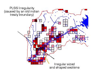
The Public Land Survey System (PLSS) is one of the two national coordinate systems. It is a grid based off of a series of 34 principle meridians and baselines (week 3 notes). It "systematically" coordinates land into townships (N/S) and ranges (EW). This system is used to show ownership.
No comments:
Post a Comment